Saturday, December 20, 2014

Mall Madness or Mountain Madness - Day Hike Golden Ears Provincial Park


At the time of year when folks flock to the stores, we decided to avoid Mall Madness and head to the Mountains for a day of rest and relaxation.  The weather forecast looked promising so we decided on a day trip to Golden Ears Provincial Park.

Entrance to Golden Ears Park


Situated on the north side of the Fraser River, near Maple Ridge, Golden Ears is one of British Columbia's largest parks.

Thanks to BC Parks for maintaining our trails


The Park features hiking and biking trails, over 20 km of horse trails, fishing, swimming, water skiing and windsurfing.  There are also three vehicle accessible campgrounds and numerous back-country wilderness camping opportunities.

We decided to check out the East Canyon Connector trail.  The trail is a really easy hike and suitable for children and families.  It climbs gently along the canyon above the creek on an old service road. There are numerous creek crossings - lots of opportunity to rock hop.  Always a hit with the kids!

Numerous stream crossings along the route

Evidence of recent wind storms


Thanks to the Ridge Meadows Outdoor Club there is a newly flagged route from the East Canyon Trail to several view points on Mt. Nutt.  This trail is rated difficult, and with limited daylight, we decided to save this one for another day...although it was tempting!

As we continued along the East Canyon route, we were able to catch glimpses of the Golden Ears looking very majestic with a dusting of new snow.

Glimpses of snow capped moutains

We decided to follow the connector trail down to the Lower Falls route.  This was by far our favourite part of the day.  The connector route is quite steep and as you descend to the falls you quickly become mesmerized by the forest.  The trees tower above and you are surrounded by ferns, mosses and lichens.  We did not encounter a single soul on the trail and enjoyed the stillness and calm as we listened to the falls roaring below.

Lush forest


Connector trail to Lower Falls


There is evidence of past logging along the route, and as we stared at the old stumps, we marvelled at the thought of what these trees might look like today.

Evidence of past logging


Mother Nature fights back - what a nursery tree!

The Lower Falls trail is almost like a sidewalk - wide, flat and obviously well used, but still very interesting and enjoyable as you travel from the falls along the shores of the creek.


Giggle of the Day:

We have enjoyed many trips to Golden Ears Provincial Park, taking advantage of the hiking trials, campsites and lake.  We often joke that Alouette Lake should be renamed Always Wet Lake as we have almost always encountered rain when visiting the park.

Today we thought the rain curse might be broken!  After a few days of torrential rain and heavy winds, we were thrilled to be hiking in the sunshine.  Well "thrilled" might not be the right word.  As we began to hike we gloated about the weather and how lucky we were to be basking in the sunshine.

It seemed fitting that when we arrived at the Falls, the spray was cold and thick.  Within seconds we were soaked to our skins....karma?  We vow to never gloat about weather again!

Picture doesn't capture how COLD the spray was!


Map and Route Tips:

Access to the East Canyon Trail head is from the Gold Creek Parking lot.

Golden Ears Provincial Park Map


Saturday, November 15, 2014

Harrison River by Kayak - 2014 Update - Harrison Hot Springs to Kilby Provincial Park.


Kayaking the Harrison River is one of our favourite fall trips, and although we usually strive to seek out new routes and explore new areas, this is one paddle that always brings us back!


We last visited Harrison River in October 2013.  This fall we found ourselves back on the river in search of spawning salmon and feasting Eagles.  In the past, we have launched and returned to the beach at Harrison Hot Springs.  This year, we decided to organize a car shuttle and run the river from Harrison Hot Springs to Kilby Provincial Park.  We were hopeful this would give us more opportunity to observe the eagles and salmon and also help us avoid paddling upstream!

Young and Old alike get ready to paddle the river

It was a really busy day on the river!  The salmon run and return of the Eagles attracts tourists, paddlers, and fishers alike.  As we crossed the lake we caught up to a big group of families in tandem canoes.  I was super excited to see so many kids on the water.  They were members of local canoe clubs and were also planning to paddle down to Kilby.

Marina at Harrison Hot Springs

We bid farewell to the canoes and set off downstream.  Conditions were great - slight breeze and sunshine.  The river seemed to be running faster than usual for this time of year and the water was quite high due to the recent heavy rainfall.

Even sailboats were on the river

As we approached Chehalis Flats activity definitely increased.  The salmon were jumping all around us.  It was mesmerizing to watch, so much so that I had neglected to take my eyes off the water.  Finally, when I took a moment to look up I was approaching two trees and there were at least twelve eagles perched in the branches.  I was careful to keep my distance as to not disturb them.  They seemed very content to just watch me drift by.

Eagles observe from their perch

Underwater shot

Hand-fishing on the Harrison

The human activity on the river is definitely a concern, as the Chehalis Flats are an important area for both the spawning salmon and the Eagles.  A group of dedicated and passionate citizens are working hard on establishing the Chehalis Flats Bald Eagle and Salmon Preserve and sharing information regarding etiquette for kayakers, boaters and sightseeing in this area.  As they so well state, "between the increased number of fisherman working the river, the phenomenal subdivision expansion by people who also love this river and its offerings, and the annually increasing numbers of kayakers, birders and now photographers, the collective impact demands that we need to develop some etiquette, some understanding how we can all live together most harmoniously by incorporating some seasonal rules, to reduce human impact, so we do not “love this wonderful place to death!”

Notice the splash from the salmon jumping - fishers line the river

Boat traffic is heavy....and some aren't too concerned about their wake

Daily tours add to the traffic on the river

Voyageur canoe heading to Kilby


Giggle of the Day:

Recently we stumbled upon a blog written by Dave Cornthwaite, an adventurer who in 2005 decided to quit his life as a "couch potato" and embark on an adventure.  Since making this life changing decision, Dave has tackled some amazing trips.  However, what we find most inspiring about Dave is not his adventures (although they are incredible) but his is personal philosophy.  It is simple.  Dave encourages people to make life memorable - SAY YES MORE!

Most of the people we meet when cycling, hiking or paddling seem to embrace the Say Yes More philosophy.  I am not sure if Say Yes people are attracted to outdoor activity or if outdoor activity breeds the Say Yes spirit, but none the less, today "Say Yes" gave us our giggle.

We were really struggling to find a way to shuttle our vehicle in order to allow us to run the river.  We didn't want to drive two cars all the way to Harrison, so we decided to visit a few online forums and pose a couple of questions about running shuttle.  In true forum form (that's a tongue twister), a complete stranger connected us with a fellow at Kilby Bed & Breakfast who offered a shuttle service.  We arranged to meet Darcy, who owns the B and B and off we went.  We asked Darcy if he would mind driving in our car with us to the start point and then driving our car back to the take out point.  Darcy was incredibly flexible and accommodating. This was a perfect plan for us as it saved us from having to take two vehicles to Harrison Hot Springs.

As we were preparing to launch, long after our new found friend, Darcy had departed with our vehicle, we met two couples who were staying at the Harrison Hot Springs hotel for the weekend.  They asked about our trip and were puzzled about the logistics of the shuttle.  We told them about Darcy and then we were taken back by their questions - in fact questions we honestly didn't even think of asking:
  • did he have a license? 
  • did he even know how to drive?
  • was Darcy who he said he was or had we actually given our van keys to a "stranger" who now knew we would be out of our house for a full day?
....their questions went on and on, and their parting words were, "looks like you have lots to worry about as you paddle down the river." As we set off across the lake it hit me.  They really didn't understand the Say Yes More philosophy.

Now, for the record, Darcy, the owner of Kilby Bed and Breakfast is a fantastic guy and is a licensed and insured driver. We would highly recommend anyone visiting the area looking for kayak rentals, shuttle service and a great place to stay to check him out.  The giggle really came from the contrast in the two points of view.  It demonstrated to me that by saying YES, we met a fantastic guy, learned a lot about a great local Bed and Breakfast, learned more about the surrounding area, enjoyed a fabulous day on the river and giggled.  Would that have happened if we had said NO?  I guess we would be paddling upstream against the wind.......

Busy day at the take out point - Kilby Provincial Park


 Map and Route tips:

Fraser Valley Bald Eagle Festival

Kilby Bed and Breakfast


Sunday, November 2, 2014

Bike Overnighter - Whidbey Island

Fall Weekend Cycling Getaway - Fairhaven to Seattle via Whidbey Island

It sounds cliche to say that the route from Fairhaven to Seattle has something for everyone, BUT it really does!  Rolling farmland, including pumpkin patches and apple farms, rugged coast, hills, headwinds, ferries, trains, planes on trains, trails, concrete jungles, shipyards, canals, panoramic ocean views, bridges, a bustling urban centre and numerous historic points of interest including the stunning Chuckanut Drive and the historic forts on Whidbey Island. We were only gone for a couple of days, but this ride makes you feel like you have lived a month!

In search of the Great Pumpkin

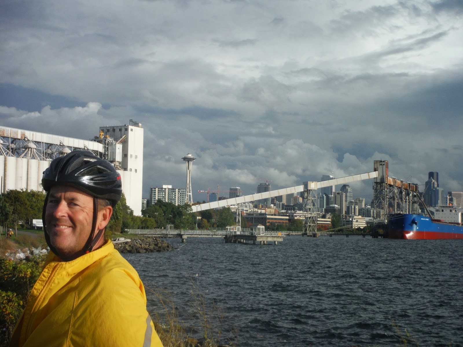
Our trip began in the quaint and historic town of Fairhaven, a great place for Sunday brunches and leisurely weekend strolls!  Our plan was to leave our car in the Amtrak long term parking lot, cycle to Seattle and catch the train back from Seattle at the end of our trip.  We were quite tickled with the long term pay parking system at the parking lot, not exactly high tech, but very effective.  Simply stuff your cash in the slot!

High Tech Pay Parking system - Fairhaven

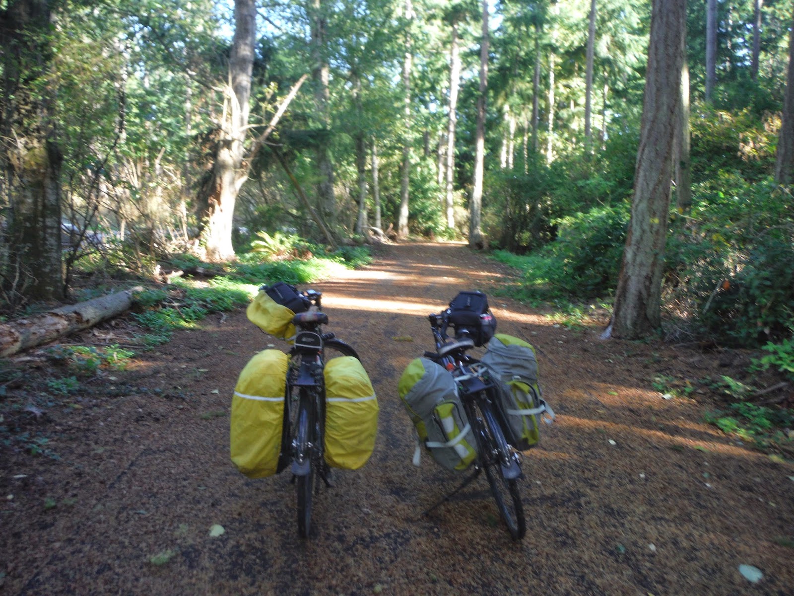
We set off heading south and immediately noticed a trail marker for the Interurban Greenway.  Always excited to be on trails, we jumped on and discovered a great trail almost all the way to Larabee State Park.

Interurban Greenway trail marker

Fall colours along the Interurban Greenway

Leaving the trail we connected back up to the road and joined the famous Chuckanut Drive.  This road hugs Chuckanut mountain as you wind your way along the coast.  It can be a bit nerve racking for cyclists as the shoulders are narrow and being a scenic byway traffic can be heavy.  Having said that, it is a route frequented by cyclists and we enjoyed the lush forest and ocean vistas as we travelled along the drive.
Ocean view from road side pull out on Chuckanut Drive.

Leaving Chuckanut Drive the route flattens out as you travel through farm land and eventually along Padilla Bay.  Being late October and a forecast for heavy rain, we had decided to leave our tent at home and look for motels and Band B's along the way.  For our first night, we thought it would be fun to visit the Swinomish Casino.  Well, of course, best laid plans - it turns out the casino was full.  With heavy hearts and even heavier legs we kept on pedalling in search of a place to stay for the night.  We had a late start and were beginning to get worried about losing daylight.

Apple Orchard - view of Padilla Bay in the background

Not too far up the road we stumbled upon the Fidalgo Country Inn and were instantly transported back in time.  The parking lot came complete with lobbyists dressed in camouflage gear, armed with US flags advocating for Bill 594, which to our knowledge addresses background checks for firearms.  Despite our complete ignorance of the issue, the gang was friendly and welcomed us to the Inn!  They recommended we eat at the local diner.  We took their advice and we enjoyed fantastic clam chowder soup and the sounds of 60's music.....we fully expected to be caught up in a 60's style protest march after dinner, but I suggest our imaginations got the best of us.

Day 2 took us across the famous Deception Pass bridge to Whidbey Island, "the shortest distance to far away".  The Deception Pass bridge is listed on the National Register of Historic places and is recognized for it's engineering, architecture and as the gateway to Whidbey Island.  The bridge is located within Deception Pass State Park, 4,134 acres of amazing!

Deception Pass Bridge


The Island features many cycling routes and we enjoyed the numerous options to sidetrack off the highway and take the back roads through rolling farmland.  Being October traffic was light, but unfortunately the fall prevailing winds are from the south...and they were mean!  We battled all day and welcomed the break from the Kettles trail and Rhodo Trail near Coupeville.  The trails provided relief from both the wind and the road. We arrived in Freeland and began our search for a place a stay.

Picture Perfect barn

Bike route follows the shoreline

Wind breaks at Picnic area - Oak Harbour

Kettles Trail near Coupeville

As we began to cycle in to town we were greeted by three dogs....and within seconds the chase was on!  We haven't been chased by dogs in a very long time and it brought back memories of our Mississippi River Cycle Tour.  Just as we were beginning to panic, out came Sophie, the dog's owner.  Sophie was the best!  She had those dogs under control and back in their yard in seconds.  She apologized over and over and then gave us the most enthusiastic set of directions I think we have ever heard! Sophie recommended the local motel and we took her advice.  As we settled in to our room, the skies opened up and it began to pour.  We looked at each other in disbelief.  What are the odds of cycling for 2 full days in October and not have rain?

Deer crossing

Clinton ferry terminal

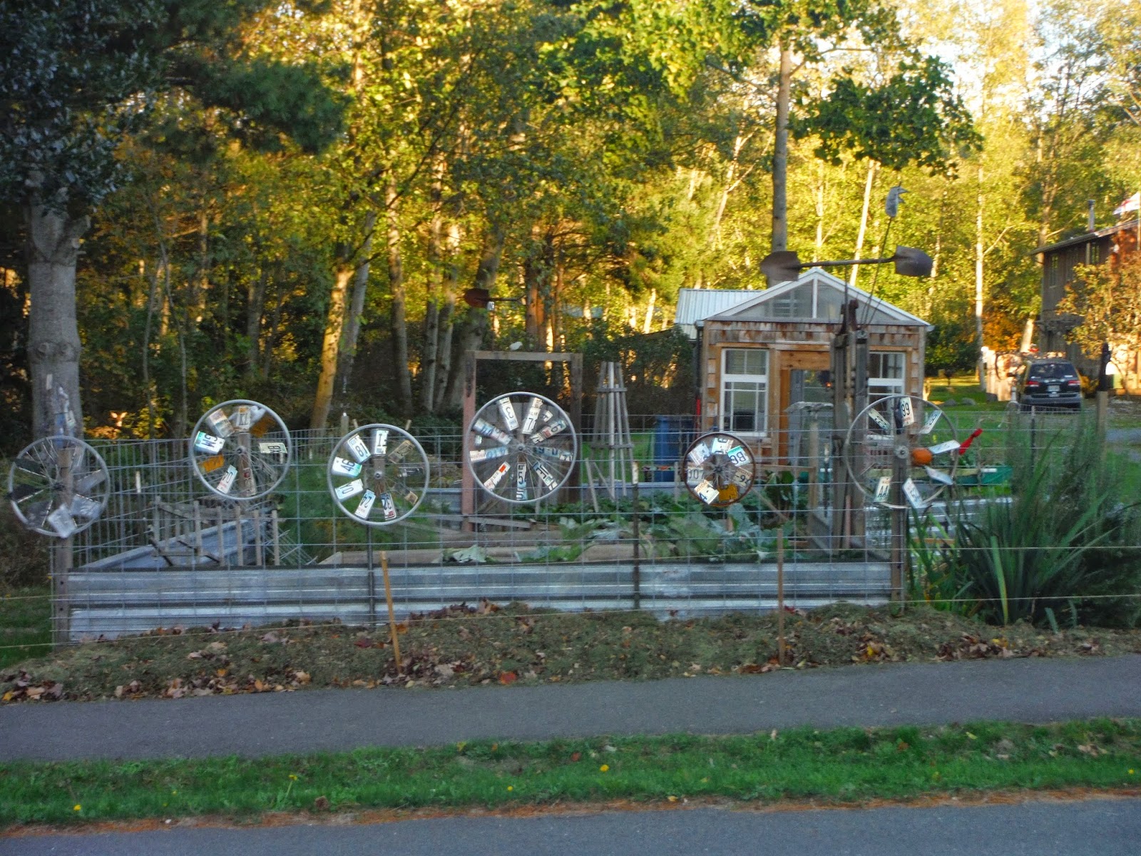
Creative use of bike wheels to make whirly gigs

We were up early on our last day, as we had quite a few miles to get under the belt in order to arrive in Seattle in time for our train.  Our route took us along Highway 525 to Clinton where we travelled by ferry to Mukilteo, a quaint waterfront community on Puget Sound.  We learned that Mukilteo means "a good camping ground" and I think we would agree.  The town has fantastic views of both the Olympic and North Cascade mountains.

Mukilteo

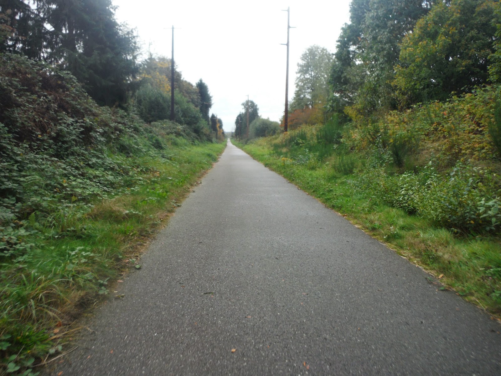
From Mukilteo we began a long uphill climb in search of the Interurban Trail, a multi-use path connecting Everett with Seattle along the old Puget Sound Electric Railway corridor.  Although, you probably would not call stretches of the trail  "pretty" we found ourselves very impressed to have a dedicated multi-use pathway in the heart of such a heavily populated and busy area.  Stretches of the trail paralleled Interstate 5, so it was very noisy at times, but the luxury of not being in traffic or negotiating intersections was such a treat.

Interurban Trail marker

Great signage

Miles of designated multi-use path

The trail was well signed and although we took a couple of wrong turns, I must confess the mistakes were ours.  At one point we were actually standing directly underneath a trail marker and missed the turn because we didn't look up.  Not our proudest moment!

We ended our trip with a classic brain fart!  After nearing downtown and travelling along Phinney Street - a really funky street with a definite Vancouver feel to it, we found ourselves crossing a bridge and looking for directions to downtown.  We were planning to either connect with the Burke-Gilman Trail or the Elliott Bay Trail for the last leg of our trip.

Canal crossing near Lake Union

We noticed a large hill, but to our right in the opposite direction of the hill was a bike path.  Being tired and grumpy we jumped at the chance to hop on the Ship Canal Trail in a feeble attempt to avoid the hill.  In our efforts to avoid this last hill, we completely lost all sense of direction and ended up cycling miles out of our way along the wrong trail.  Once again we amazed ourselves how fatigue, hunger and a sight of a hill can completely cloud judgement.  Having said that, the Ship Canal Trail was a lot of fun as it weaved through the shipyards and railway yards giving us a view of Seattle we had never seen before.

We stopped to see how work on our private yacht was coming along

Tourists enjoy a boat tour

Planes on Trains - you really don't see that every day!


Once we realized our mistake, we back tracked and made our way to downtown Seattle.....even managing to find time for a quick celebration drink before boarding the train.

Space Needle welcomes us to downtown

Celebration drink and rest at the pier

View from above - King Street Amtrak station

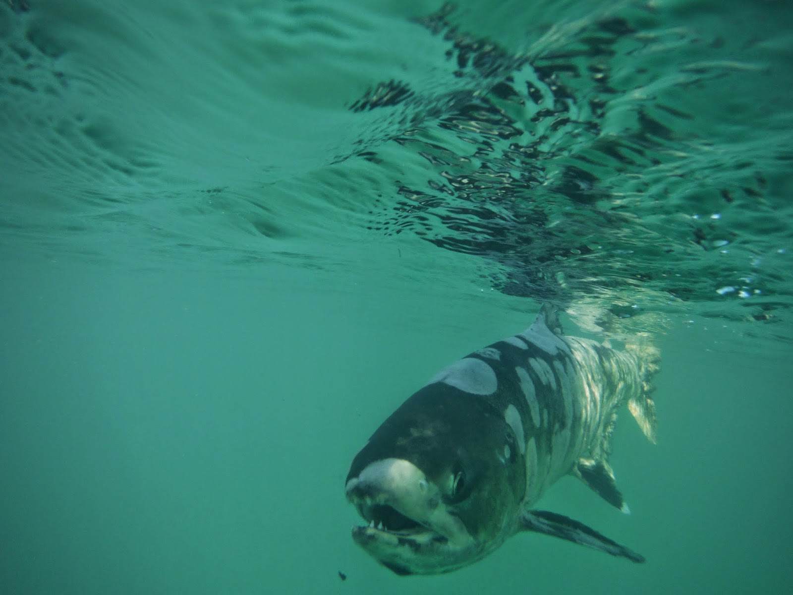
Miraculously the rain had held off for the full three days of our trip.  As we toasted our good fortune....we began to plan our next outing!  Rumour has it the salmon are running on the Harrison River!


Giggle:

Rob deserves all the credit in the world for capturing amazing photos on our trips.  He is always looking for an interesting shot or story to tell.  Usually, I am fully supportive and enjoy our frequent breaks while he satisfies his "inner photographer."  However, in all honesty, on more difficult days, those full of headwinds and hills I must confess that sometimes my patience runs a little short with his frequent picture stops.  At my age, when you get the train moving, sometimes it is just better to keep it going down the track!

On day 2 of our ride we had struggled against really strong headwinds for the entire morning and as we approached Oak Harbor we were fighting just to stay on the bikes.  We kept pushing forward at a painstakingly slow pace, grateful that it wasn't raining when Rob spotted a really cute roadside market, complete with giant pumpkin.  Of course, he couldn't pass this opportunity by and before I knew it he was trying to setup his bike in front of the pumpkin.  We were also lost, so Rob pulled out the maps....and with one sudden huge gust of wind....the bikes blew over and our maps went flying!!!!  We took one look at each other and burst out laughing...what else could we do?

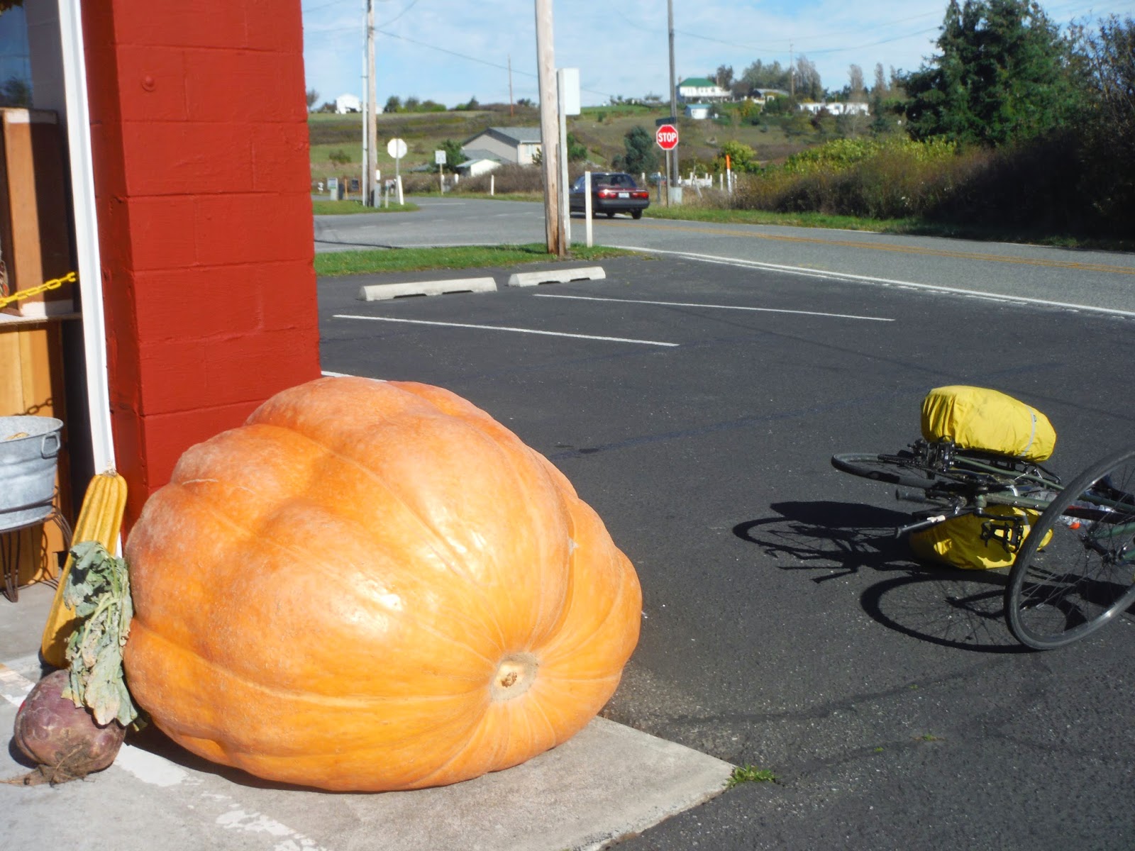
The wind steals our maps and topples the bikes


Map and Route Tips:


Day 2


Day 3


Amtrak

Clinton Ferry

Downloadable Cycling Mpas - Whidbey Island

Tuesday, October 7, 2014

Hiking Heliotrope Ridge - a view from the top

At 10,781 feet, Mount Baker looms majestically over the Pacific Northwest.  On clear days, the sun beats off the Coleman Glacier and beckons hikers and climbers to visit.  About one third of all the glaciers in the lower 48 states are located in the North Cascades National Park.  Today we chose to hike the Heliotrope Ridge trail up through the old growth forest to the Coleman Glacier.  This is one of our favourite day hikes and something that families can easily enjoy together.  


For a glimpse of the hike, check out this 360 degree panorama photosphere shot from Heliotrope Ridge.  It's the next best thing to being there!


Children will delight in the numerous stream crossings, bridges, boardwalks, switchbacks, waterfalls, and incredible views of the glacier including glimpses of ice-climbers in action.

Mt. Baker looms above

One of the many waterfalls along the trail

Our day began with a giggle!  The fridge was empty so we decided to make a quick stop at the Subway in Glacier on our way to the mountain.  We painstakingly and deliberately worked with the sandwich artist to create a sub fit for royalty.  We knew we had a long hike ahead and wanted lunch to be worthy of the effort....really, it is always about the food!  Delighted with our choices we went to the cashier to pay.  Of course, we were not carrying US cash, so we needed to charge our purchase.  Unfortunately, the point of sale system wasn't working.  It was a glorious day and we were anxious to get to the mountain, so before I knew what was happening Rob was behind the counter, rebooting their router and troubleshooting their wireless network.  Another remote service call and another happy customer!

Backpacks full of delectable delights we headed for our next stop, the Ranger Station in Glacier to purchase our Parks pass. Nestled in the forest, the Ranger Station is absolutely beautiful - quaint and charming.  As you walk around the grounds you fully expect to run into Yogi and Boo Boo Bear. The staff are extremely knowledgeable and welcome any and all questions about the trails, forest and parks.  They will provide you with up to date information on trail conditions and/or closures.

After leaving the main highway, the trail head to Heliotrope Ridge is about 8 miles up a forest service road.  The road is windy and narrow so you must drive with caution.  We laughed to ourselves as we delighted in the climb.  With every mile we travelled to the trail head in the car, we knew we were saving a mile of climbing on our feet.  I contemplated that maybe this delight in car travel is a sign of age?

Route map at Heliotrope Ridge Trail Head

The trail follows numerous switchbacks through the old growth forest as you begin your climb.  Today the light in the forest was almost magical and we spent a lot of time photographing the forest floor and trees.


The trail is very popular and can be quite busy, so we welcomed the opportunity to chat with other hikers as we passed.  It is quite a cross-section of people who frequent the trail:  families, young and old, scientists studying the glacier, ice-climbers, snowboarders, skiers, and numerous four legged adventurers.  We enjoyed meeting them all and learning more about what draws them to the mountain.

Avid skier heads up the trail

Even the four legged visitors pack it in and pack it out!

By the time you are getting a little tired of the switchbacks the trees begin to thin and Mount Baker teases you with your first glimpse of the glacier. It literally stops you in your tracks and takes your breath away.  Rejuvenated by the glacier sighting we pushed on into the sub-alpine.  This area is at its ultimate best when the spring wild-flowers are blooming.  We had missed the wild flowers, but none the less the view from the top was fantastic.

As the trees begin to thin you are treated to your first glimpse of the glacier

We navigated our final stream crossing and made our way to the ridge.  Numerous ice-climbers were practicing their skills.  It was inspiring to watch them work hard for every inch of vertical gain.  We stopped for lunch and sat in complete silence as we took in the sights and sounds of the mountain.  We were incredibly lucky to have such a perfect day - it was warm and clear, we could see for miles!

Rob attempts to stay dry during one of the many creek crossings

Look closely - how many ice climbers do you see?

After lunch, we decided to climb a little higher...the clear, blue glacier ice was mesmerizing and we couldn't bring ourselves to leave without getting just a little bit closer.  The climb quickly became much steeper and a little trickier was we tried to navigate across the loose rock.  At one point I was on all fours, clinging to the rock when I glanced up to see a mountain man bouncing across the rocks.  I quickly tried to collect my dignity and stand up to greet him.  His name was James and he looked like a Greek God!  He was shirtless, tanned, athletic with long flowing mountain man hair.  Rob, teased me, that if we really wanted to encourage more young ladies to hike, maybe James should be our model and spokesman!

The glacier blue ice is stunning under the clear blue sky


We took a break and visited for quite a while.  James was an avid hiker and shared stories of his hike the previous weekend to Ptarmigan Ridge .  Today he was in search of his buddy RJ.  They had become separated at the last creek crossing.  We asked if he needed help, but he didn't seem to worried.  In his words, "Heh, worst case we can meet back at the car."  Of course, being a neurotic mother, I had visions of RJ laying hurt in a crevasse, but James did not seem to share my worries.

Jane auditions for the Sound of Music - the hills are alive.....

Vegetation is sparse as you gain elevation

We spent considerable time photographing the glacier, and then reluctantly decided to turn around and head back to the trail head before we lost daylight.  On our way down we came across two ice-climbers.  One of them had twisted his knee during his climb and was really struggling with the downhill hike.  We offered to help, by taking some of the weight from his very heavy backpack, but I think pride may have stopped him from accepting help.  I imagine the weekend warrior story of conquering the climb isn't quite as impressive when you have to end the story with details about 2 middle aged, slightly overweight Canadians helping you down the mountain!


Giggle of the day:

The washroom facilities on the trail are definitely 5 star....check out this View from the Loo!

A Loo with a View


Map and Route Tips:

Remember to stop by the Ranger Station and purchase your recreation pass.

Check trail and road conditions - the road to the trail head has been subject to wash-outs.

There are several stream crossings.  Water levels vary greatly depending on time of year and time of day.  Take hiking poles!  You will get wet!

Sometimes you just have to go for it and get wet!

Trail head - go east on Mt. Baker Highway 542 for about one mile to Glacier Creek Road. (Forest Service Road 39).  Turn right on Glacier Creek Road and continue for 8 miles to the trail head parking lot.  Outhouse is at the trail head.


Trail map marked in green.


#hike #nature #glacier #pacificnw #discoveroutdoors #photosphere #mtbaker